Every time you buy a perennial, scan a seed packet, or plan a new bed, one piece of information shapes every decision: your hardiness zone.
That single number tells you the coldest your winters typically get, which is the baseline any plant must survive to come back next year.
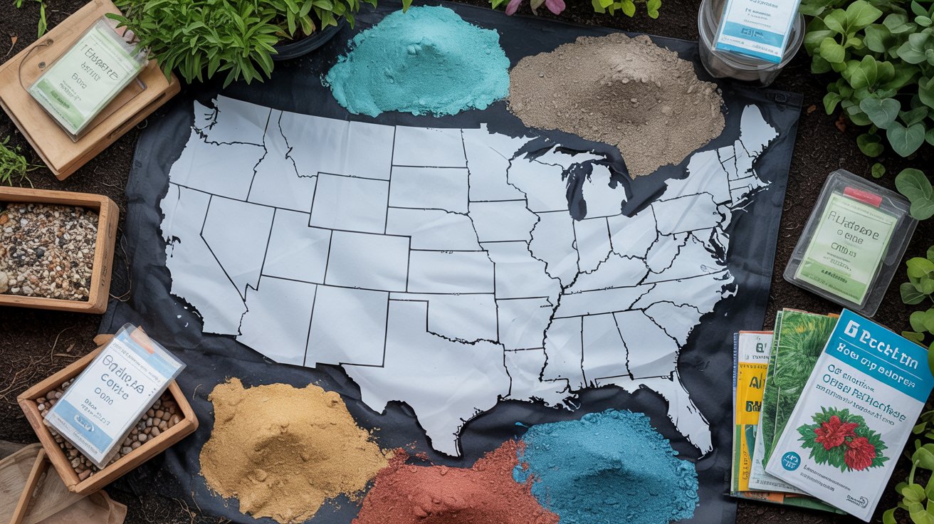
The USDA Plant Hardiness Zone Map (PHZM) divides North America into 13 zones based on average annual extreme minimum temperatures.
Each zone spans 10°F, and each is split into an "a" and "b" half-zone of 5°F each, giving you a precise picture of your local cold limit.
This hub walks you through finding your zone by ZIP code, reading the map, and translating that data into a real season-by-season planting plan. We also cover the 2023 map updates and what microclimates mean for your specific yard.
The USDA Plant Hardiness Zone Map divides North America into 26 half-zones (1a–13b) based on average winter low temperatures.
Enter your ZIP code at the USDA tool to find your zone instantly, then use it to choose perennials, plan seasonal tasks, and set realistic survival expectations.
What the USDA Zone Map Shows and How It's Organized?
The PHZM is built on one measurement: the average annual extreme minimum temperature recorded at weather stations across the country. That single metric, averaged over 30 years, determines which zone a location falls into.
Remember it later
Planning to try this recipe soon? Save it for a quick find later!
It does not account for summer heat, humidity, rainfall, or soil type - just winter cold.
According to the USDA hardiness map, zones use a color scale running from deep purple in the Arctic-cold Zone 1 through to coral and red in the tropical Zone 13. Each color band represents a 10°F range, and the "a" and "b" subdivisions each represent 5°F within that band.
A plant rated to Zone 6b, for example, should survive lows down to −5°F.
The map is available in several downloadable formats for offline reference or print use. National, regional, and state-level maps come in multiple resolutions suited to everything from a quick phone glance to a high-detail printed poster.
| Zone | Half-Zone | Avg Min Temp (°F) |
|---|---|---|
| 4 | 4a / 4b | −30 to −20°F |
| 5 | 5a / 5b | −20 to −10°F |
| 6 | 6a / 6b | −10 to 0°F |
| 7 | 7a / 7b | 0 to 10°F |
| 8 | 8a / 8b | 10 to 20°F |
| 9 | 9a / 9b | 20 to 30°F |
Choosing plants rated to your zone or colder is the safest path for perennials. If you're selecting a Japanese maple, checking its zone rating against this table is the first step before any purchase.
Zone ratings on plant tags reflect cold hardiness only. A Zone 7 plant in a Zone 7 garden can still struggle if your summer heat is extreme or your drainage is poor.
Regional maps are especially useful for gardeners near zone boundaries. A state-level map shows county-by-county variation, helping you spot whether your town sits in Zone 6b while the next county over is Zone 7a.
Find Your Zone Now: ZIP Code Workflow
The fastest path to your zone is a direct ZIP code lookup on the USDA's interactive tool. The whole process takes under two minutes, and the result gives you both your zone number and half-zone designation.
Before you start, have your ZIP code ready and decide whether you also want to check a second location - a vacation property, a community garden plot, or a friend's address where you're planning a planting project.
With your zone confirmed, you can filter plant databases by hardiness and skip anything rated two or more zones warmer than your location. That alone eliminates the most common mistake new gardeners make - buying beautiful plants that die in their first winter.
Screenshot your zone result and save it with your garden notes. When shopping online or at a nursery, pull it up instantly to check any plant tag before you buy.
Zone numbers also help you plan backward from frost dates. If you're in Zone 5, your last spring frost averages around mid-May and your first fall frost hits around early October - giving you roughly a 150-day growing season.
Knowing that window lets you time seed starts, transplants, and end-of-season tasks like winterizing your beds and borders before cold arrives.
Half-zones matter more than most gardeners realize. Zone 7a and 7b share the same color on a quick glance, but they represent a 5°F difference in minimum temperature.
For marginally hardy plants - a crape myrtle at the northern edge of its range, for instance - that gap is the difference between a hard cutback and a dead root system.
If you garden in multiple spots, run the lookup for each address separately. Elevation, proximity to water, and urban heat islands all shift real-world temperatures enough to land two gardens in different half-zones even within the same ZIP code boundary.
Monthly planting guides built around zone data are a direct extension of this workflow. Check what's appropriate for your zone in cold-weather January planting, then track forward through early-season February options, March planting priorities, and April's full planting window as your zone warms.
Regional Updates, Climate Caveats, and Planning Calendars
The 2023 PHZM was a significant revision. According to the USDA's map creation notes, the update introduced GIS-based interactivity and revised zone boundaries using 30 years of temperature records from 1991-2020, replacing the previous 1976-2005 dataset.
About half of the country shifted by a half-zone warmer as a result.
That shift reflects real warming trends, but it doesn't mean your garden is immune to an unusually brutal cold snap.
The map shows averages - a once-in-a-decade extreme cold event can still kill plants rated to your zone if temperatures drop well below the historical average for even a short period.
Zones 3-6 cover most of the upper Midwest, New England, the Mountain West, and Canada's border regions. The 2023 update pushed several Zone 5b areas into Zone 6a, expanding the range of marginally hardy shrubs and roses. Gardeners here should still plan for late-May last frost dates and use zone ratings as a firm minimum, not a safe comfort zone. Local microclimates - low-lying frost pockets, north-facing slopes - can keep a garden behaving like a colder half-zone even after the map update. Preparing your beds thoroughly each fall remains critical; see our guide on early spring bed preparation for the flip side of that equation.
Zones 7-8 cover the Pacific Northwest, the mid-Atlantic coast, the upper South, and parts of the Southwest. These zones gained the most new plant options from the 2023 update - many previously Zone 8 plants now appear on Zone 7b tags. Extension research on zone shifts emphasizes that urban heat islands within these zones can push city gardens a full half-zone warmer than surrounding rural areas. Summer maintenance matters here too; heat-season garden tasks like deep watering and mulching protect roots during high-stress months.
Zones 9-11 cover Florida, coastal California, South Texas, Hawaii, and Puerto Rico. For gardeners in these zones, the PHZM is less limiting - cold hardiness rarely blocks plant choices. Instead, heat tolerance, humidity, and drought resistance become the binding constraints. The PHZM works best here as a baseline check on the rare cold snap, not an everyday planning tool. Pairing the PHZM with the AHS Plant Heat Zone Map gives a fuller picture of which plants will actually perform across a full year in warm-climate gardens.
Microclimates can shift your effective zone by a full half-step in either direction. A south-facing wall, a frost hollow, or a nearby body of water can change what actually survives in your yard — independent of what the ZIP code lookup returns.
Frequently Asked Questions
Enter your ZIP code in the Quick ZIP Code Search at the USDA PHZM site to get your exact zone and half-zone designation, including the corresponding minimum temperature range, in seconds.
Yes. The 2023 update shifted roughly half of U.S. locations by a half-zone warmer, using 1991–2020 temperature data instead of the previous 1976–2005 dataset used in the 2012 edition.
Match the plant's zone rating to your zone or colder. A perennial rated Zone 5–9 survives in any zone from 5 through 9; anything rated Zone 8+ will likely die in a Zone 6 winter.
Yes. Extension research confirms that south-facing walls, frost hollows, and urban heat islands can shift real-world performance by a full half-zone, even when the ZIP code lookup shows a single designation.
The USDA's Map Downloads section provides national, regional, and all 50 state maps in multiple resolutions, including high-resolution versions suitable for printing at poster size.
Pin it for your next usda hardiness zone map: find your zone project.